“I’m going to buy my girlfriend an engagement ring”, I told the Lyft driver as we headed into Portland. She was psyched about my plans and was asking if Jen would be suspicious and if I was nervous.
I’d told Jen that I was going to get a surprise for her as she hung out with her sister’s family. I tried to cover my tracks with small gifts and a series of cards for our second anniversary.
That didn’t justify a mystery trip into town though, so I just played dumb and figured she’d eventually forget.Time went by and the ring’s box sat in bubble wrap, wrapped in duct tape, in the bottom of my important things dry sack. As this bag has my ID and cards etc, it sat on every restaurant table and next to my sleeping bag every night. Jen thankfully never asked about that cuboid shape in the bag right it front of her.
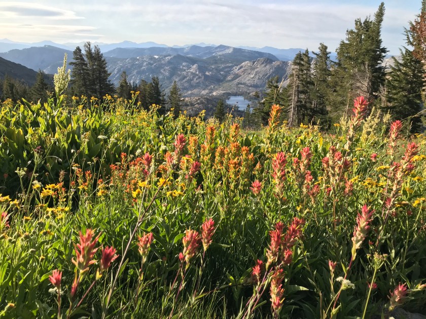
A full 1200 miles and about seven weeks later, the Sierra mountains were at our feet. Now I had to decide where to pop the question.I had quickly given up on the idea of having a spot planned much prior as something could easily get in the way. Then logistical issues came to mind: what time of day would we be there? What about other hikers?! I didn’t want this to be a public show. What about the weather? What to do to celebrate, or otherwise?!
I decided then go for a place I had spent a day at four years before on my John Muir Trail hike. It was only another 6 miles further.
Thousand Island Lake should’ve been number one all along. The pristine lake sits below Banner Peak and is dotted with dozens of small islands. We approached the lake at sunset and found the perfect spot on the lake’s edge.We set up tent quickly by the water just in time to see the last whisps of orange clouds fade and as Jen heated up the Punjabi Potatoes by the tent, it turned out I was really nervous and Jen not at all suspicious.I just about managed to get the box in my hand the right way round and I plopped my knee down into the wet ground and popped the question.
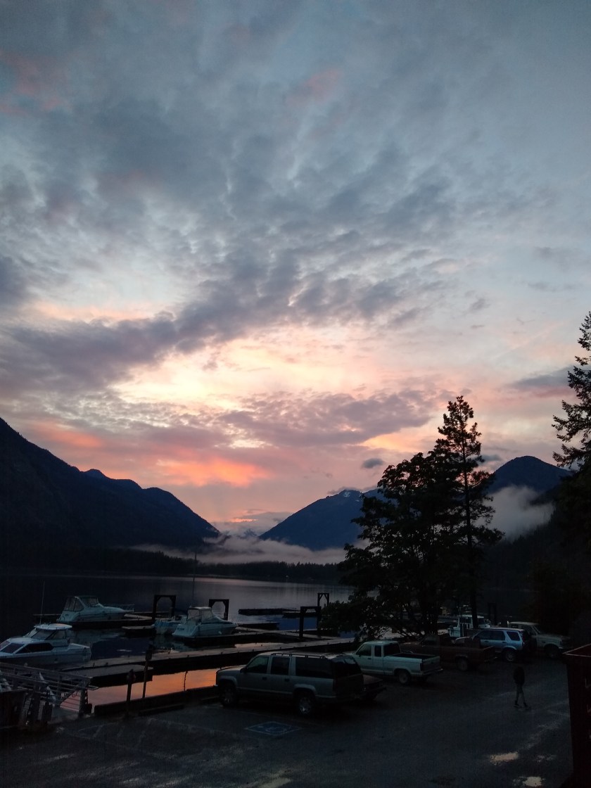
The time that you get back on trail from town positions you just ahead of some hikers and just behind others. Some folks have taken a day off, some just a few hours, and some don’t stop; town gives us hikers a good shuffle.
This is amplified around large towns and when there’s bad weather. Town is like a bottleneck or a vortex in these circumstances and then little newly formed bubbles of hikers are spit out into the wilderness the next day. All with newly stuffed food bags, some are even clean.
The shuffle reveals some old faces and some new and occasionally, somone cool you haven’t seen in a long time. We stop to chat and share stories and plans at spots on trail or simply walk and talk. We leapfrog with hikers for a couple of hours or maybe even days, until the next resupply point.
Previously we used to leapfrog around hikers for a couple of hours and then not see them again as we were the tortoises (who liked days off). We would see their names disappear into the future in the trail registers where hikers sign and date along the trail.
“Oh look, it’s Carjack, she’s 11 days ahead now!”
We had met Carjack by the Canadian border almost 3 months ago and as she had done 800 miles in the desert previously, she promptly disappeared over the horizon and her name got further and further ahead in the registers.
The pattern of seeing names we knew ahead of us became a little too common and we found ourselves needing to up the pace to be in the Sierra by mid-September. This the advised arrival date to avoid bad weather.
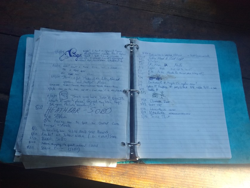
A typical trail register found along the trail
The last time I posted, we were a few days into our big 15 day push to gain back some miles we dropped in the lazy days of northern Oregon. Since then we’ve done several 30+ mile days.
During the push we found ourselves scanning registers we came across for names we knew to check our progress against others’.
“Scarecrow, this morning. Jukebox and HanSobo, two days ahead. Dozer he’s three days now, he was four. Carjack, just seven days ahead now.”
This new pattern now continued. We were somehow gaining ground on oher hikers! We walked from dawn to dusk, literally, every day with short breaks to beat the weather. As we got closer, it felt achievable but we were also getting burnt out. The day we left Sierra City was particularly hard on me, then we saw the snow forecast and we needed to do 75 miles in 48 hours to avoid being exposed on a ridgeline in a huge storm.
We hiked long into the night twice and got caught out, just, by the snow storm. We promptly got a ride into town and were very relieved we had been on the southern side of Dick’s Pass.
As I returned to our motel room in South Lake Tahoe later that day, my phone buzzed as we took a well deserved rest day after having hiked 625 miles in 25 days.
“Did I just see you walk across a parking lot in a towel?!!”, the text said. It was Carjack and she was in town. We had caught her up!
I had indeed been in a towel outside (laundry chores) and we agreed to meet for pizza. We toasted our success and shared stories of the trail and then promptly passed out long before normal peoples’ bedtimes.
Jake captured this moment in the winter wonderland heading down from the trailhead to South Lake Tahoe
“There’s a red flag warning,” Jake was checking the weather and speaking in the measured tone of a person who is definitely not freaking out.
We were already 23 miles into the day. And 68 miles from the trailhead closest to South Lake Tahoe.
“What?” I said. I had checked the weather earlier in the week and saw that it might rain, but a red flag means a storm.
“Wind gusts of 75 miles per hour… damaging winds,” Jake went on reading. “Snow showers… accumulation of three to five inches.”
It seemed impossible. The late summer sun had warmed us all day. The sky was a delicious blueberry.
Sun before the storm
We checked other sources. We checked other locations. They looked worse.
We exchanged glances. We expected storms. Jake and I hiked through the Sierra Nevada on the John Muir Trail in 2015 before we knew each other. We expected storms but not for another week or two. Plus we had been booking it for three weeks just to get to that spot. We had been keeping up with hikers far faster and far stronger. We were tired and ready for a day off.
We quickly agreed we would hike as far as we could that day and the next day.
A few hours later, we sat at picnic tables at Donner Pass, named for another set of ill fated travelers. We made dinner there and discussed our options. We searched online for what high wind feels like. Somewhere around 45 mph walking becomes difficult; around 60-70 mph trees can be uprooted. We found a bailout point “if things get really bad” about 28 miles ahead. Then we hiked on, hoping for the best. It was midnight when we laid out our sleeping quilts to cowboy camp under a nearly full moon and howling wind. We had hiked our longest day at nearly 37 miles.
Jake woke me at 6 in the morning as pink crept into the horizon. It was time to get up. The wind was already picking up over Tinker Knob. Another ridge beyond found us bracing against our trekking poles.
Windy but sunny
By the time we reached the “bailout point” that afternoon, the wind had died down a bit. Some friends caught up to us. They were discussing the possibility of hiking all night to avoid the storm. At this time we were in blazing sunshine. A sign declared 32 miles to the trailhead. We could do that mileage in a day easily but not after already hiking 20 miles.
Jake and I decided to press on for a few more hours. We would hike until 9 pm, set up our tent, sleep until 4 am, and hope that the storm hit an hour or two later than forecast.
We cooked dinner with the last of our fuel that night and set up in the most protected section of forest we could find. At one point, in the middle of the night I opened my eyes and saw that outside the tent, the trees were swaying in all directions. I closed up the tent and awoke before my alarm at 3:50. I began stretching my legs for the trail ahead.
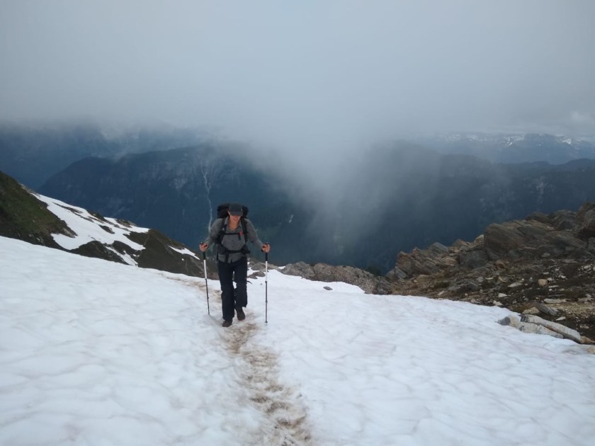
We were up and out quickly. Hiking in the dark, we made our way toward Dicks Pass at 9,376 feet. The wind picked up. It threatened to knock us over at points.
Storm clouds gather
Off in the distance, I saw a bank of clouds galloping toward us. For the rest of the day, “Riders on the Storm” cycled through my head like a dirge. At the top of the pass, we ran into the first couple of hikers we saw that day and there was enough cell signal to check our fantasy premier league teams and text family.
On the way down, we stopped for peanut butter and jelly tortillas. I don’t even like PB&J. At this point on the trail, I eat anything. The break spot was sheltered from the wind and even sunny. We ran into a couple of hikers we hadn’t seen since Oregon. It was a strange reunion in the midst of impending doom. The sun gave us a false sense of security.
Hiking on, we ran into more people on long weekend excursions. We hiked past glorious lakes lined by fireweed and paintbrush. The wind whipped our cheeks and clouds gathered. Just after Lake Aloha, hail began to fall. Then it became rain, then sleet, then snow. We were still two hours from the trailhead… two hours ahead in wet snow. Faster than I’ve ever experienced, the snow began to stick. The temperature was dropping. It coated granite and turned dirt trail into a river. I began to panic. I couldn’t get warm. My beanie and down jacket were in my pack. I wasn’t thinking straight.
Jake stopped me to put on more layers and we resumed the climb. We slipped over rocks and hoped we could make it to the trailhead before our resolve dissolved. We skidded past other hikers. We slid in ever accumulating snow, seeking out the trail as it disappeared before our eyes.
Finally we made it to the trailhead. Looking for a hitch, we saw a section hiker getting into a Jeep. Jake dashed over to ask for a ride. The driver warned us that his Jeep was a convertible but we were just happy to be on the move. Less than an hour later we were washing the dirt off our feet and planning our town meals.
In the end we hiked 90 miles in two and a half days. We got to town tired, soaked and hungry but glad to be dry.
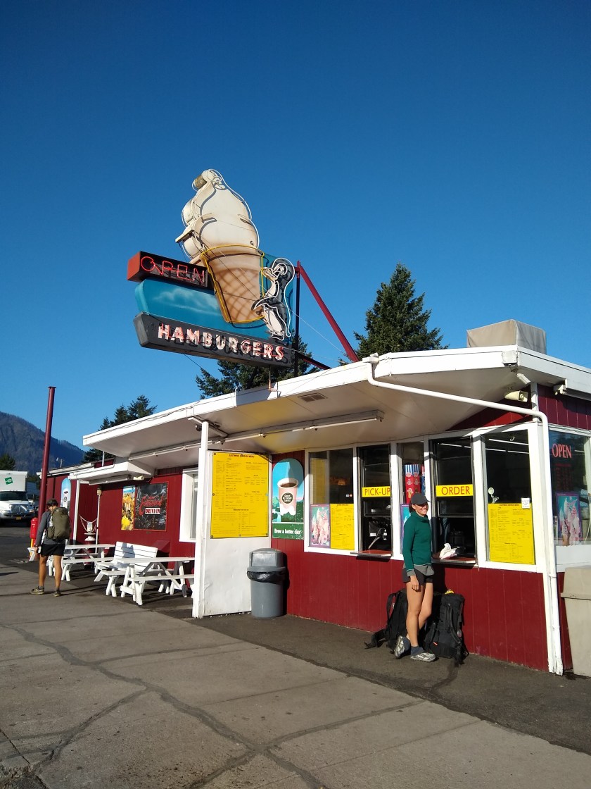
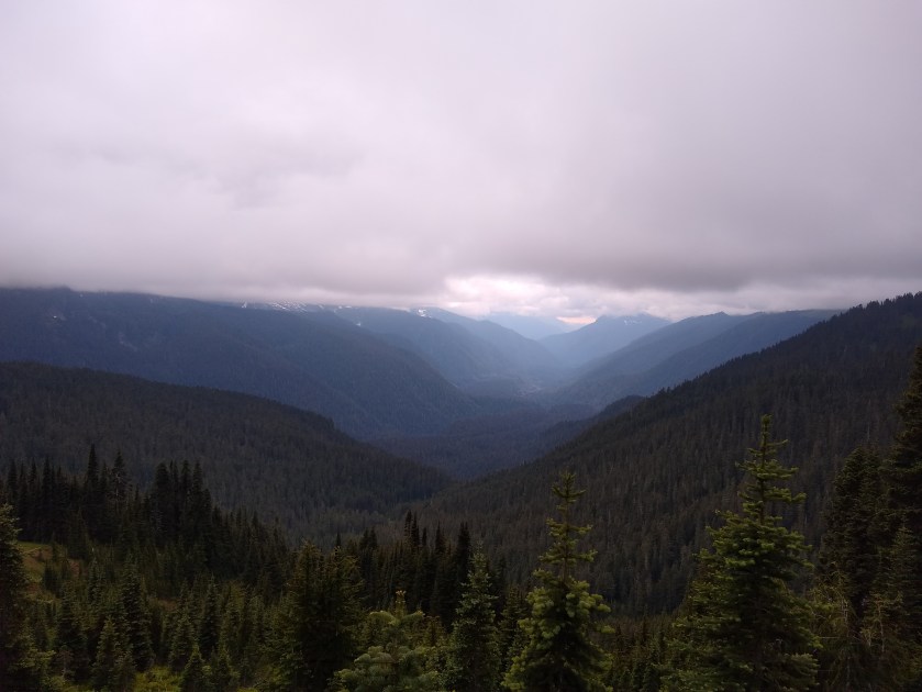
The final miles are the worst when you’re looking forward to getting into town. We don’t stop often on these runs and this stretch was the longest we’d done, nineteen miles southbound into Cascade Locks.
Town feels next door when you set out at first light on that morning before beer and cheeseburgers. You wake, stir your throbbing feet alive in your quilt and struggle to stretch to touch your toes as you chew into first breakfast. Everyone is buzzing a little about the prospect of food, and food and more food.
Once the initial adrenaline boost dies down, our destination seems to get further away the closer we get. It’s getting hotter and our feet are barking at us like rabid hounds. The 2000 foot climb just to go down 3500 into town seems utterly pointless at times like these. A moment of hiking, staring at scrolling rocks like a manic computer game can be blissful meditation, but today it was all encompassing pain.
We had done this section relatively quickly, keeping up with the hiking machines that flipped from the desert and breaking our own mileage records. We saw hikers we assumed were days ahead. We felt good about our progress and our ability to keep up with the younguns.
But our feet were beaten and bruised. Trail discomfort is something akin to a state of permanent fleeting pain. It might be your heel for five seconds, your achilles for three days or a shin for six weeks: you’re always dealing with some issue that could make you stronger or equally knock you off the trail if you don’t tend to it. Jen calls it “walking the tightrope between adrenaline and injury”.
Due to this increased focus on our bodies and miles, we have struggled to post on the blog. We just haven’t had the time. We’ve gone from 8-12 mile days in the Olympic National Park to 20-27 mile days in the past couple of weeks on the PCT.
In the past seven days we have hiked over 150 miles and in the last two days alone we completed two marathons. This leaves less time for other things as practically every waking moment is focused on walking or preparing for walking.
This focus is necessary though and needs to continue in Oregon as we move towards a comfortable experience in the Sierras, a place we have both hiked before and have no desire to experience in freezing dangerous conditions that are common in October.
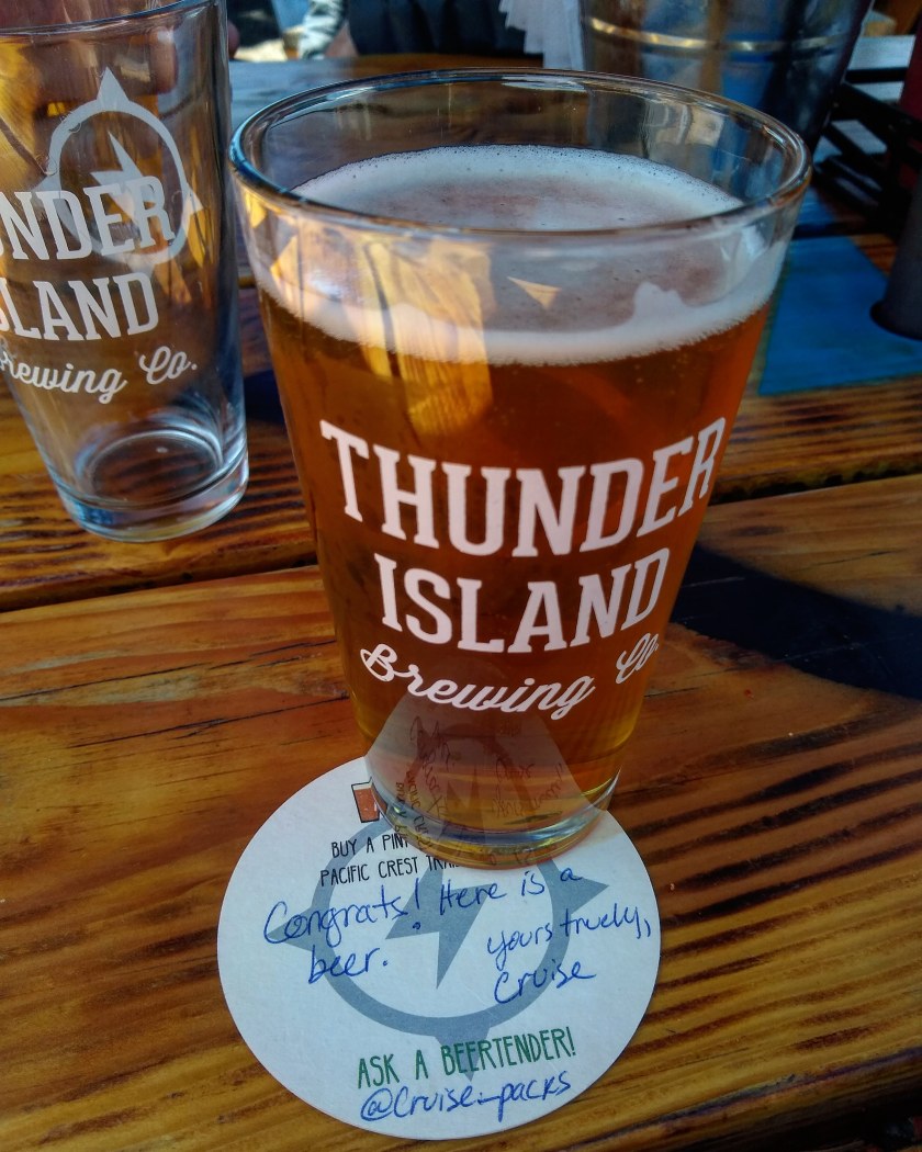
Yet we can’t only look to the future too much now, or focus on the pain either. We must enjoy the present, especially this cider that I have in my hand, a breakfast burrito I’ll have tomorrow, a burger and PBR I just had, biscuits and gravy I ate this morning, the free beer that’s coming this afternoon, the showers over there and every other joy town brings.
This is our day off walking and we will enjoy it. A lot. Miles and rocks can wait for tomorrow. Pain takes a back seat for a few days after these trips.
I was half awake at 2am in our camp at Susan Jane Lake aside a retreating bolder covered mountainside that towered a thousand feet above us. Two leaves brushed along the tent fly making semicircular sillouetes for me to stare at while my thoughts went round my head of the days ahead. Everything else in the valley was dead still. Suddenly out of that ocean of stillness came a rapidly approaching rumble.
We had walked out of town after two wonderfully relaxing days of sausage and cider with Jen’s parents in Leavenworth. It was time to get serious with some real hiking in this 70-mile section from Stevens Pass to Snoqualmie. We have to move now, we should be doing 20+ mile days every day till November to make it before the snow comes. My feet hurt just thinking about it.
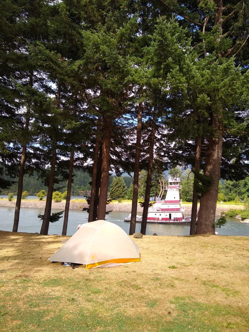
Our campsite
The problem that day was we left late and weren’t far from civilisation when we decided to camp early due to post-zero day laziness, sore knees and a even sorer Washington apple filled head.
As listened to the rumble I wondered if it was truck shifting down gears on the highway we had crossed earlier and remembered living close to large avenues in Mexico City. But there was a whole mountain between us and the highway. Maybe it was a plane?
I started to slip off to sleep again and as I drifted off I heard the same sound again in the distance. This time it was deeper and louder. It came from the west with a dull but rapidly increasing rumble, then the sound got louder and closer, then sharper as rocks shifted on our valley’s walls.
The adrenaline started surging. We were having an earthquake. My body always reacts faster than my own realisation of what’s going on. After experiencing being in large quakes, your body takes over in future situations. Not much time for rational thought, just enjoy the rush and hope you’re in the right spot.
I heard bolders shift, crack and clack together close to us across the water and at the very same time the floor jolted up. My sleeping pad amplified the wave.
Then it was gone even faster than it came and again it was just me again in my rational thought but with my eyes wide, pressed against my pad and the feeling of four espressos inside.
We found out later that it was a 4.8 and close to the trail. It was the talk of the trail the next morning.
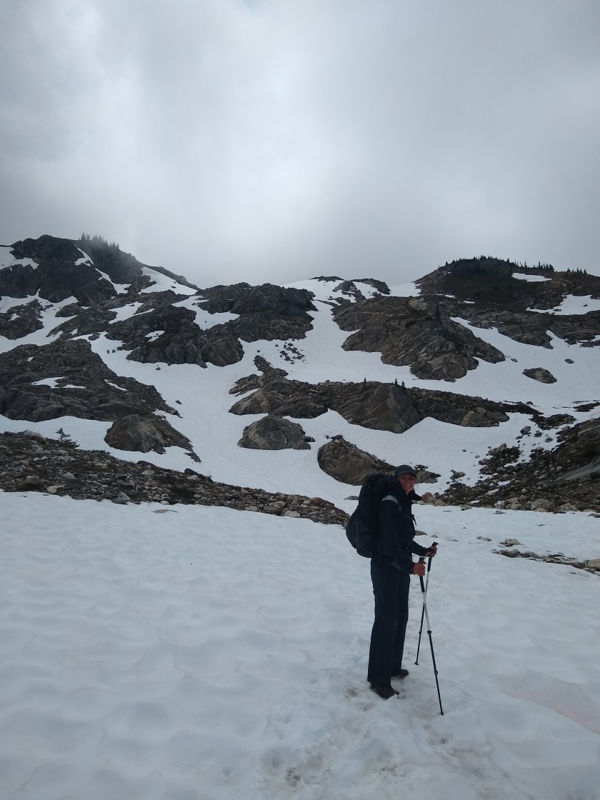
Jake crossing a dangerous snow bank earlier in the trail.
“Yoohoo!”
We heard a voice — very faintly. It seemed so far away — maybe on the other side of the valley. We couldn’t tell how far. Jake and I stood frozen.
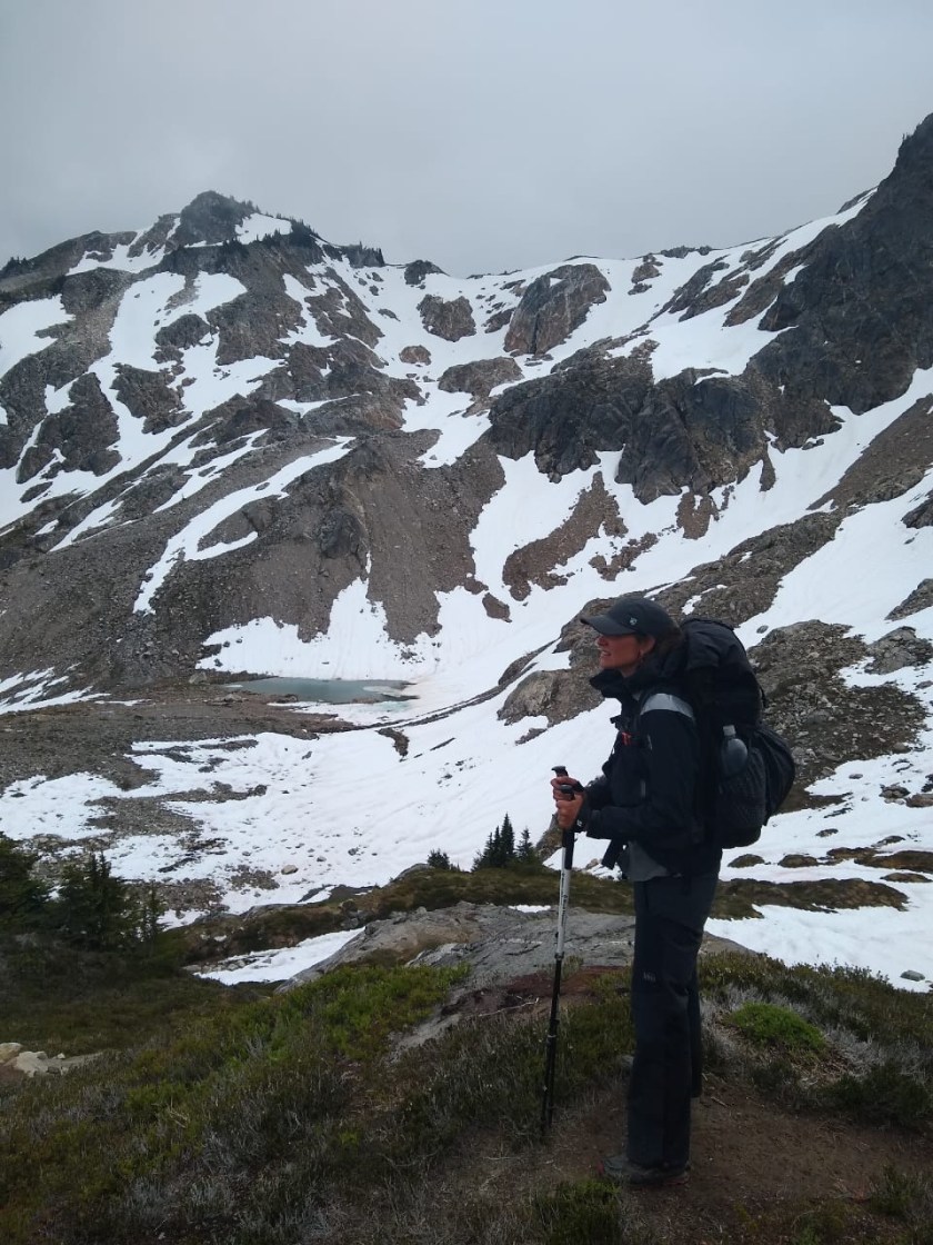
We were at the top of Red Pass in the Glacier Peak Wilderness, smack in the middle of what we were told was “the hardest section of the PCT.” We were less than two weeks into the trail, still nursing constant aches and pains. Each little twinge threatened serious injuries like plantar fasciitis or shin splints, but many of which healed after a good night’s sleep or a diligent stretch in the morning.
That day had been punishing. Dense, bone-chilling fog descended on us as we made our way up seemingly endless switchbacks to a mountain pass. After living in Mexico City, I used to scoff at any peak or pass under 12000 feet. But that day, a 6300-foot pass was killing me.
A brief moment of lightness in the fog
Finally we rounded the last bend and wrenched our wrecked hamstrings up onto Red Pass. I nearly collapsed into a puddle, knowing that wasn’t even the last pass we would need to cross that day. It was barely noon.
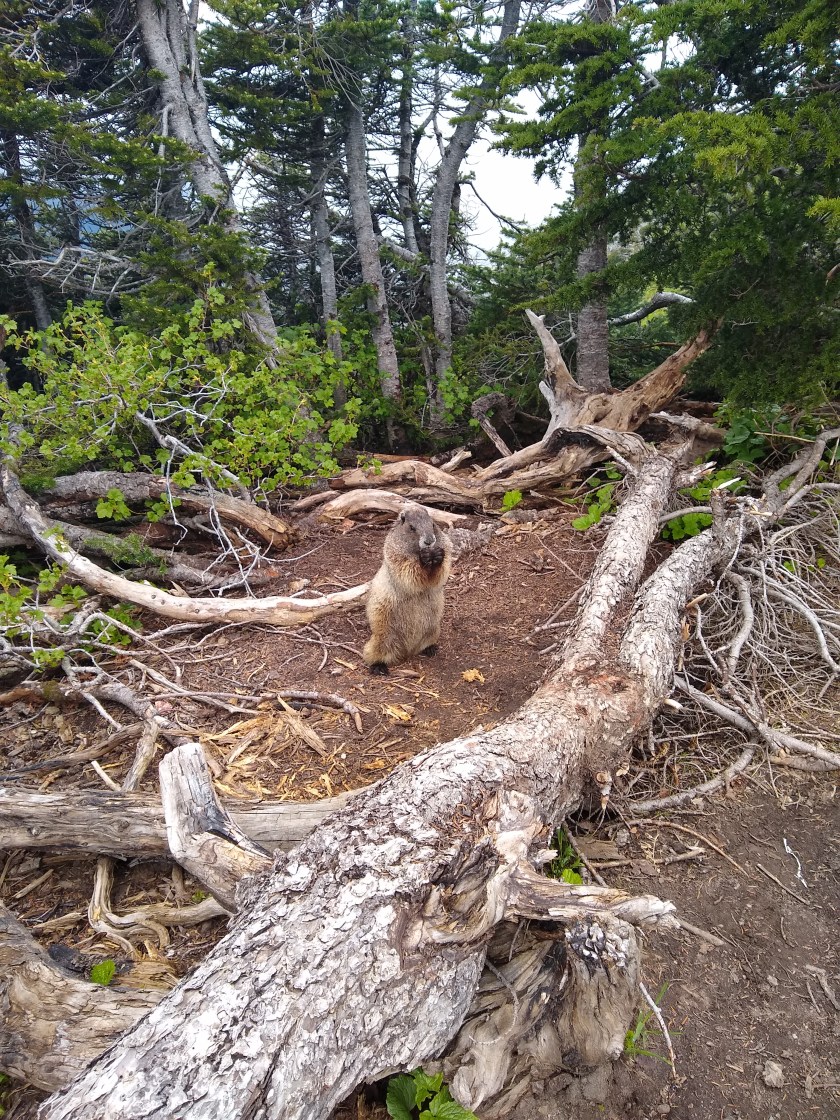
We emptied our food bags and began to assemble our lunch of tuna and tortillas. While doing so, we chatted with another hiker who had breezed past us on the uphill. She had hiked the Appalachian Trail the year before and had impressed us with her light pack and carefully chosen gear. After telling us a bit about her story, the hiker moved on. Jake and I both commented that she seemed to be such a strong walker, she would probably be days ahead by the time we made it to the next trailhead at Stevens Pass. We were then quickly distracted by a friendly marmot who ran into the pass, only vaguely afraid of hikers.
The marmot atop Red Pass
Then we heard the shout.
“Jen, be quiet,” Jake whispered. “I think I heard someone.”
We waited, but heard nothing. I was cold on the pass so I packed up my trekking poles and buried my hands in my pockets. We hoisted on our backpacks and started down the pass.
After 20 feet, we heard the voice again. It was the same hiker who we had been chatting with moments before. Then we saw her.
She was perched in the middle of a snow bank, hanging on to her trekking pole.
“I slipped,” she called to us. “I’m stuck.”
Jake and I ran over to her.
Ever since we arrived in Washington, we we heard about the north-facing slopes of the Cascade Mountains. Less sun and more exposure meant those hillsides were more likely to have snow. This year, the snow melt was early in the Cascades— we were able to start our hike a few weeks earlier than we expected. For the most part the snow has melted, but it still remains in sections, especially on those northern slopes. Most of the time, it is quite slushy and there are clear footprints showing the way through. But sometimes the snow is steep and drops off at a sharp angle. For those moments, we carry micro spikes. Micro spikes are like crampons but a little bit lighter and a little bit less grippy.
The snow in Glacier Peak Wilderness has melted significantly but hangs on in sections.
As we approached the hiker in the snow bank, we saw a trail of footprints. They rose a few feet above the track of the PCT, which was still covered in two inches of ice. Those footprints told us exactly what had happened. Just three steps across the snow field, one footprint skidded down at a chilling angle. Ten feet below was the hiker. She was stuck on the side of the trail, unable to move from her spot. Below her were several hundred feet of slick snow. The bank was so steep at that point, she was wedged up against the icy track of the PCT. She had managed to reach her micro spikes, but her position was so precarious she couldn’t put them on. And she was too far into the snow field to crawl out.
Hurriedly Jake pulled on his own spikes and rushed over. Before he could reach her, he had to knock ice off the trail first. He slammed his trekking poles into the mud, slinging chunks of ice as he went. Meanwhile the hiker hung on, worried any movement would sent her skidding down the bank.
After several nerve wracking moments, Jake was able to reach her, grab her backpack and pass it over to me. At that point I had my micro spikes on as well, but the ledge Jake was working on was so narrow and mucky, he told me to stay where I was in the muddy — not snowy — section of the trail.
Jake inched closer to the hiker, hacking through slush and ice. When he finally reached her, she was able to shimmy sideways. He grabbed her arm to hoist her up onto the spot he had just cleared of ice, first, in a sitting position and then to her feet. We asked how she was. “Cold,” she told us, “covered in mud, but otherwise fine.”
We took a few moments to collect our thoughts, but there was little time to rest. We still had to cross the same snow drift she had just slipped on.
Crossing a snow field
All three of us in micro spikes venture up along the trail of footprints. Jake went first, kicking in steps as he went along. The hiker went next. I followed after her. With Jake’s steps, the micro spikes and my trekking poles, I felt very secure on the snow. We reached the other side, and the hiker doubled over in visible relief. I felt tears tugging at the corners of my eyes in my own relief for her and us.
We removed our micro spikes and took stock. Suddenly the dense fog that had blanketed us all day parted. I won’t say there were blue skies, but the lightest hint of blue could be seen above the clouds. And finally we saw the view: lush green mountain slopes ahead. We continued hiking, the three of us in a row, as the marmots cheered us on with their high pitched chirps (marmot-call). Eventually, the hiker passed us and went on ahead to camp. We only saw her once after that. She’s probably a day or so ahead of us by now.
**I left the hiker’s trail name out of this post.**
It seemed for a minute this Monday morning that we had neither the food nor the energy to do the big miles needed that day to get us close to the highway to town after this past long section.
We stood at the bottom of a long downhill in the fog with our feet soaked from ferns which is pretty common in Washington, wrapped in our filthy runners, our bodies sore and stinking, our garbage bag bulging as the food bags were rapidly shrinking. But happy as Larry, obviously.
I always tell myself when things are down a little bit that the pain and rain are worth it and even then it’s better than the metro in rush hour or the out of hours work messages. But our bodies hurt and we had a long day ahead so even then it’s a bit of a challenge.
We were at the bottom of a long descent from our camp and, despite the descriptions above, were going strongly into a near 20 mile day as we bumped into some other SOBO thru hikers breaking down their camp and were spurred on after sharing jokes and complaints about the weather and our food. A quick change like that and everything looks up. We’d met all of them previously, Amber, Jordan, Black Hole, Poppins and Locahontas who now dub them(our)selves SloBos.
SloBo (noun): Compound of slow-mo and sobo, decided on after a fraught battle between SoboSlomo, SlomoSobo and obviously SoMoSloBo.
Anyway, we might feel a little slow at times but we’re far from it. We’re safely managing bigger and more consistent days now. Every day is in the high teens and we’re slowly creeping towards that magical 20 mile average. This last section marks the time we became actual thru hikers. We can do this.
In the past week we’ve come far in many ways since our last zero day in Stehekin (bakery) 108 miles ago on my birthday.
StehekinHanging out at the bakery
The day after my 36th (ouch) we packed up our mouse semi-chewed resupply (thanks Stehekin PO) and heaved them on, naively mocking their weight, now a little over 30 pounds (about 14 kilos) with food and no water. Ouch. Some people have heavier, no idea how they manage.
Before leaving, we did last minute chores and spruced ourselves up in one of those quarter eating showers you have to presoap before using to get the most bang for your literal buck.
We did that and hit the trail, via the Stehekin bakery of course. Let me say now, I patronised that establishment three times in three days, and nothing, nothing, beats the chicken pocket. Garden protein bomb delight. Must’ve been 1000 calories. Perfect.
Stehekin chicken slice on the bus. Get it.
The weather was absolutely glorious and we enjoyed the Stehekin river for a while and headed up the way. I was cursing the extra Hershey’s bars I didn’t think we needed as I remembered how a heavy carry out of town feels.
Heading out of town. My pack
The sun was hot and everything ached after a day off. Days off (zeros) make you weak in the short term but stronger over the long run I kept thinking that as my feet pounded and back ached as we arrived in camp.
Red Feather camped by us that night, a multi-medal winning Canadian Olympic cyclist and speed skater. Just to make us feel strong, you know? Needless to say we didn’t see her again. We saw yesterday that she was already three huge days ahead of us. She’s doing 25-30 miles a day.
We were raided by mice that night, as we are most nights. I deserved it as I had mocked the west coast mice on the Stehekin shuttle to some flippers. The rodent gods were obviously listening and decided to stick it to me by sending their best that eve to chew open the bottom of my lazily placed food bag. Luckily only ruining a bag of peanut butter pretzel bits. Everything else was untouched and the bag now with duct tape was good to go.
Those extra Hershey’s didn’t seem so heavy now we’d lost the pretzels and we headed off over the bridgeless creek, steeply upwards into the thick forest and the ever so slightly encroaching fog.
That second foggy night Jen woke and told a bear outside our tent (maybe) to fudge off loudly practically giving me a heart attack in the process. Might have been a deer or cougar I suppose. Whatever it was it snorted at the tent.
I hobbled out the next morning with a new little injury. My muscle on my shin was tight and “shin splints” was mentioned for a second time. Old Jake would’ve freaked out more but I’ve been through more than my share of tendon and muscle issues so after a minute of stress I figured out the stretches, necked an anti-inflammatory and rolled it out with my pole to prevent it getting out of control.
Jen had a similar experience with her calf and so did much the same with a similar result: other minor injuries that need to be managed on the daily that’ll fade with time. All part of the trail.
I had blocked thru hiking foot pain from my memory and thought I was immune. I’m definitely not, especially on a Sobo schedule. Foot pain is here to stay. Sometimes it is agonising, but usually it is bearable.
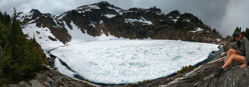
The views at times in this section were jaw dropping such as Mika Lake, still mostly frozen. We arrived to shock sunshine and the perfect lunch spot. If it had been sunnier I would’ve had a dip.
Mika Lake
Red and White Pass were intense and each time the fog dispersed enough to offer us a view or three. We got glimpses of pure magic before the grey curtain swept in again to cover the mountains. We had a rougher and more typically weather-swept Washington than the last section.
We covered the last 60 miles in three days and that was really something considering how challenging it was with extreme ups and downs, dangerously slippy snow covered passes (read Jen’s upcoming post for a related story) and the inevitable drizzle. The penultimate 19.7 mile day we did ended by 5pm in the blazing sun, our feet weren’t screaming and we had dried our gear and we felt like champions.
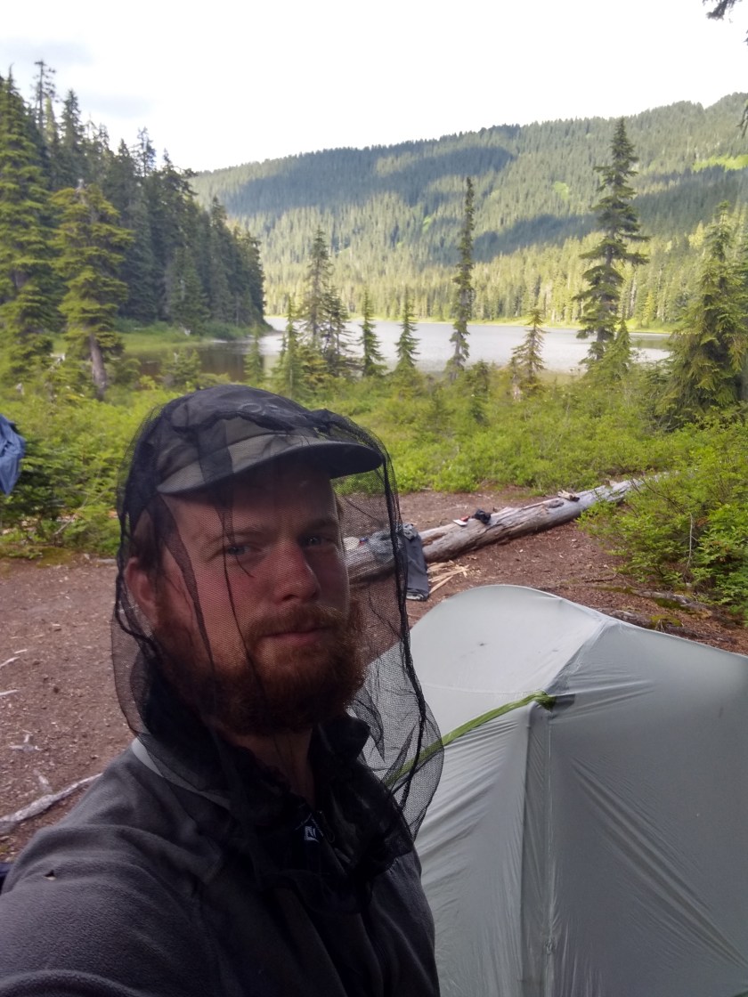
A new challenge awaited us though, clouds of mosquitoes and they’re here to stay.
When we arrived to Steven’s Pass, a ski resort on the highway we were very ready for a zero day, possibly a second one or at least a short second day.
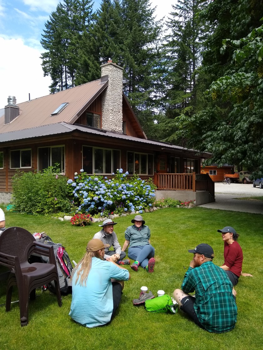
We’re in Leavenworth, 35 miles from the trail. It’s a Bavarian themed town… ‘murikuh! Jen’s parents are very generously treating us. We’re here for the sausages and steins, the resupply and the mini golf. Absolutely love it.
We’ve got several things to sort out and buy and clean and send and collect and reorganise and eat of course. Busy as usual.
We now have our new tent – the Big Agnes Tiger Wall UL3 which is bigger and a little lighter. It will help our sanity by having more space and a relative palace to hide from the coming mosquitoes.
Jen also has a new Enlightened Equipment quilt and is very happy. She’s in the bathroom using the tub to find an elusive hole in her pad. Once she’s found that, she’ll have the best sleeping setup.
Once I got to Seattle I was glad to hang out with a good friend there I know from Mexico City for a few hours. He hooked me up with a place to crash as I got in so late. We visited REI the next morning and got some great biscuits and gravy at Five Points Cafe. After a stroll down 3rd that made the Denver addicts look like amateurs, I said cheerio to Grant and headed off to Amtrak to meet Jen and her mum on their way back from Portland.
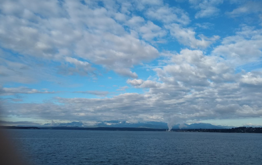
Once we got to Samish Island, we spent the evening eating, catching up chatting planning and packing before our short night’s sleep. The next morning we took a ferry to Port Townsend. It was a short trip across the water but we could see the mountains of the Olympic National Park across the way and suddenly everything felt quite real. This adventure was actually going to happen!
View from the ferry to the Olympic Peninsular
Arriving at the WIC, PA
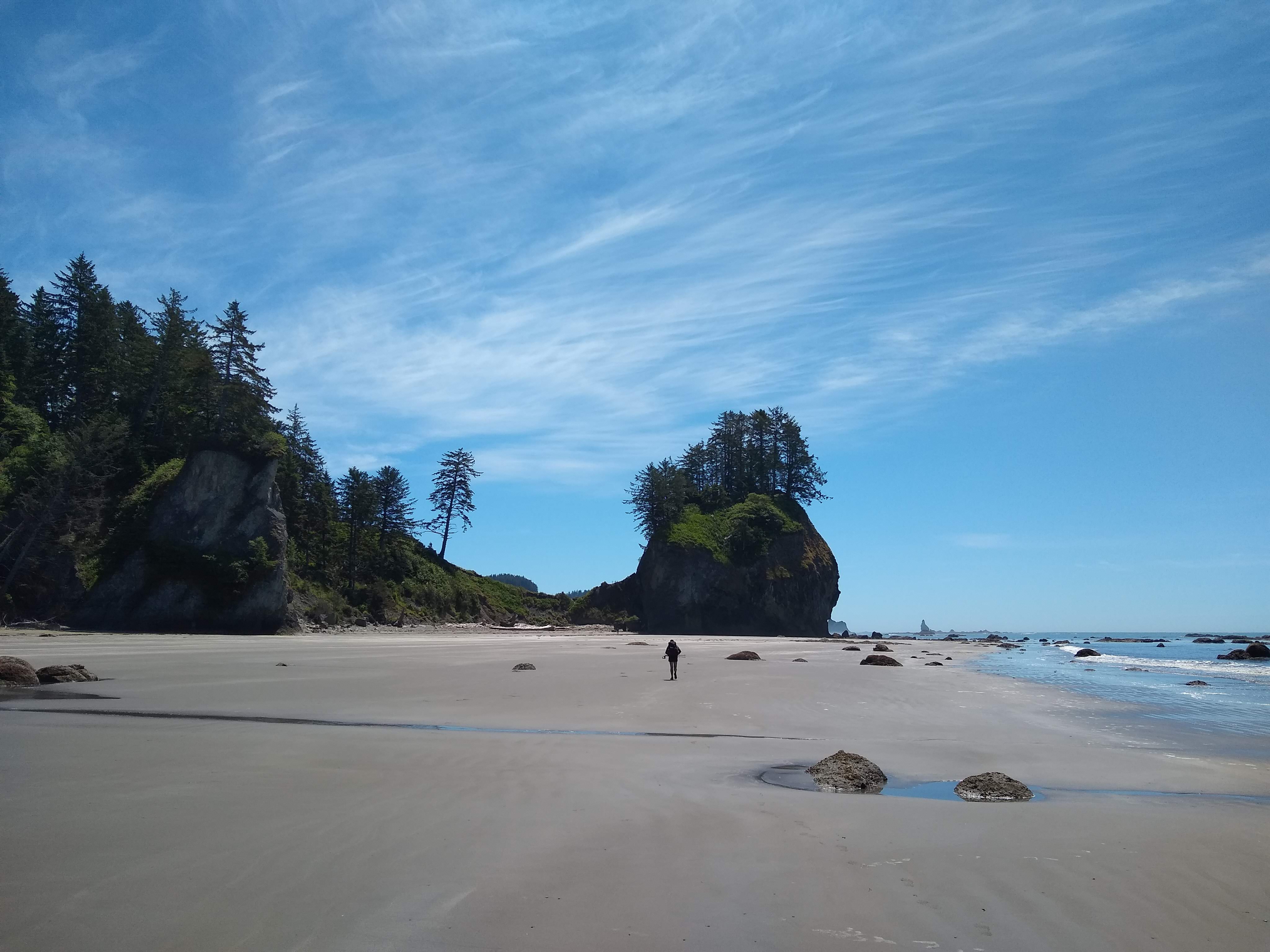
We spent the next several hours traveling bus to bus along the northern Olympic coast, stopping via the Wilderness Information Center and got our passes and information from ranger Brenden.
As soon as we arrived in Neah Bay, a guy from the Makah Reservation stopped in his pickup and offered us a lift without us even sticking out our thumbs. We jumped in the back and he drove down the dusty road that diverted us around a small forest fire, stopping at key spots so we could take shots of the beaches an stacks from his pickup. He dropped us off at the Shi Shi beach trailhead (pronounced Shy Shy) seemingly pretty excited about the fact that I was English shouting to some other hikers “He’s English!” and in return the Russians shouted less enthusiastically that they were Russian.
Our first hitch this summer from the pickup
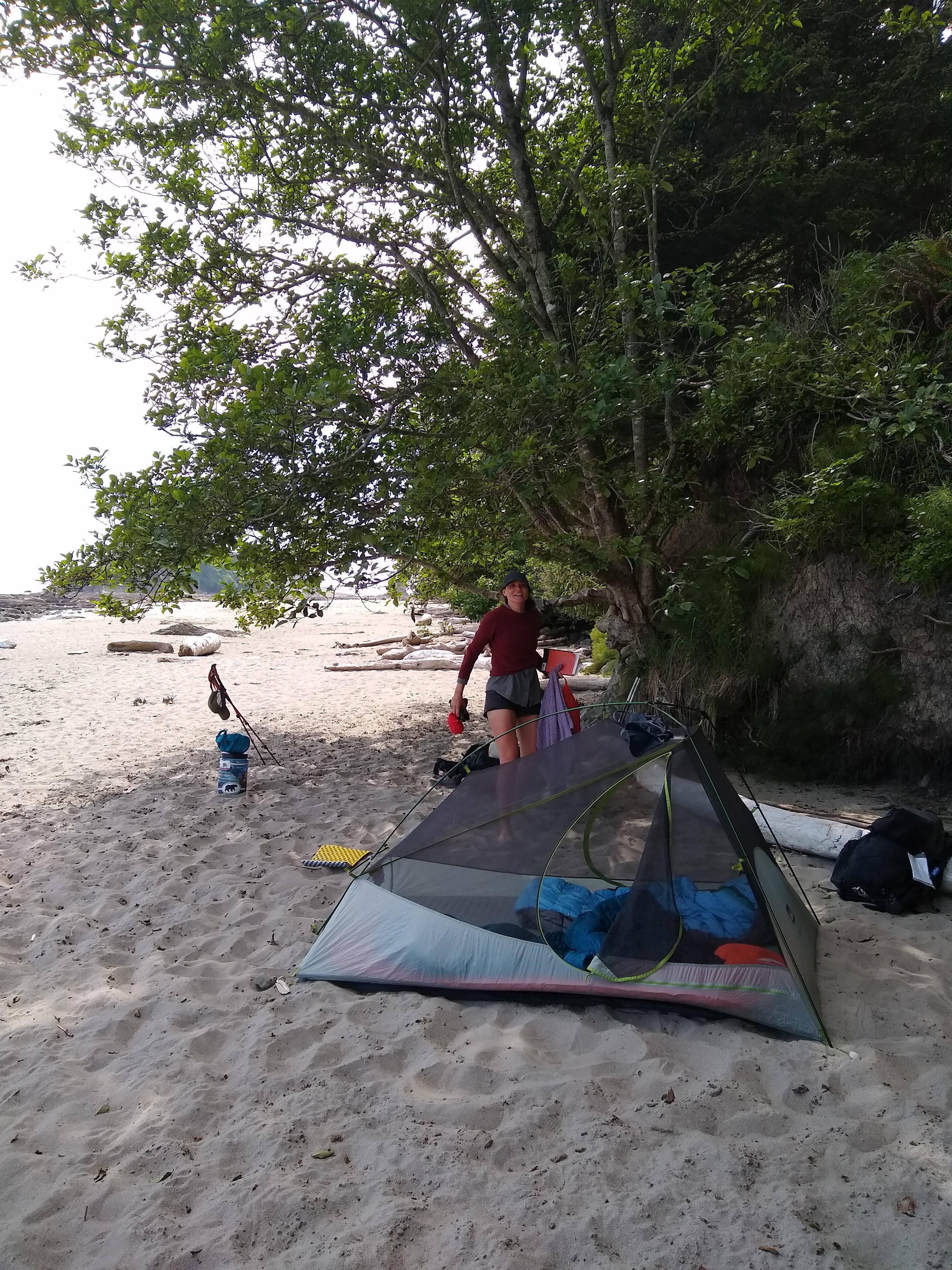
We set up our tent on Shi Shi beach and we contemplated our coastal adventure of about 50 miles ahead, struggling to cook efficiently, being disorganized with our gear and feeling a bit untested in the outdoors. That’s what this trip was for though – let’s fudge this up and learn from it for the PCT.
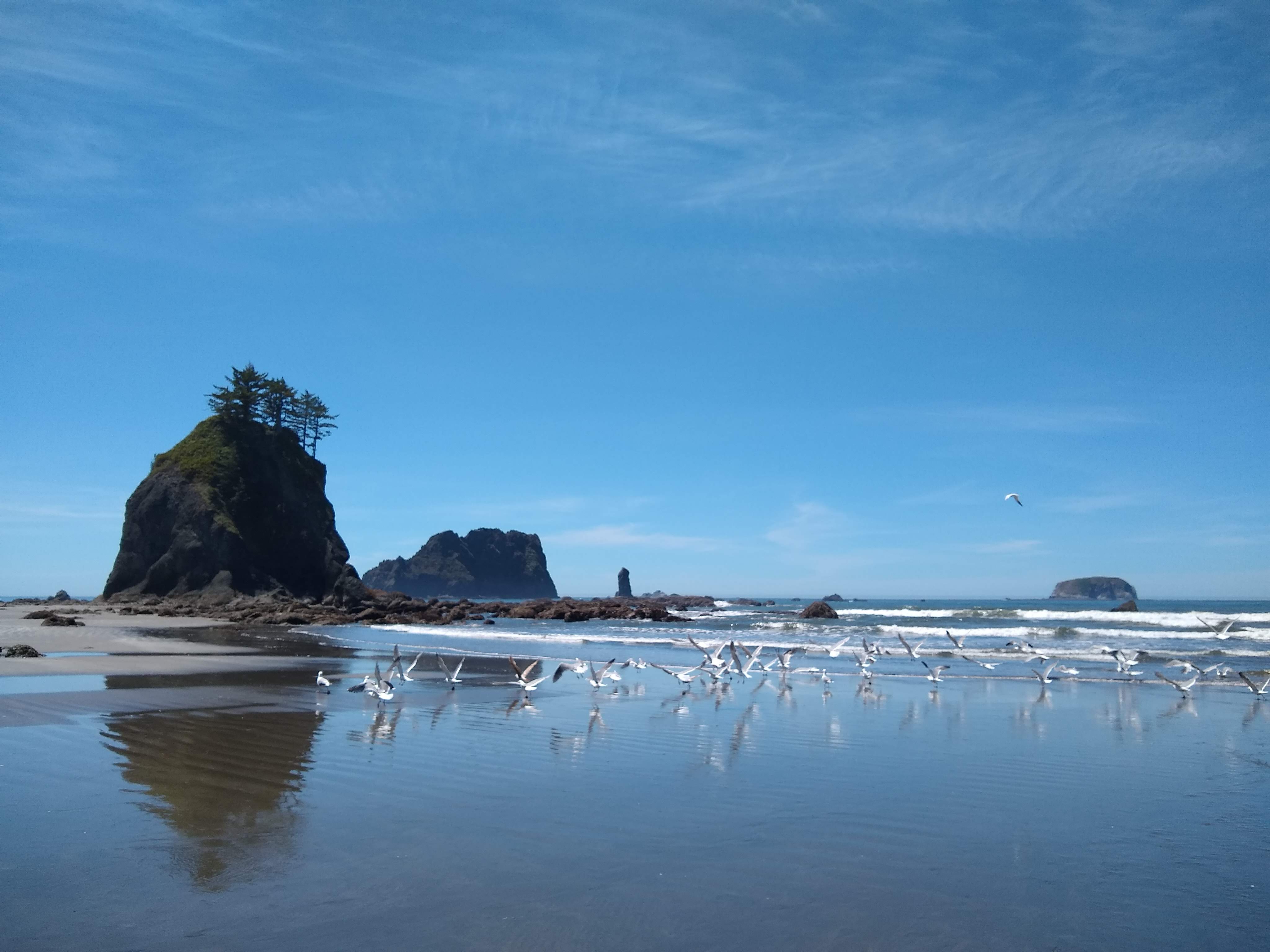
Walking along Shi Shi
We settled down as a misty haze rolled in and the sun turned it a dark yellow during sunset. The next day we woke up to an overcast sky that burnt off in a couple of hours and glorious sunshine and beautiful views across the beaches came through. The forecast was basically the same for the next five days: glorious and hot. We looked at our maps and studied the tidetables for the 14th time and decided we had a nice relaxing 8 miles to our next campsite North of Ozette.
We headed off down Shi Shi and hit our first headland with ropes up the side of slopes way too dangerous to climb without this helping hand. We ascended and descended about three of these immense challenges on the first day. The last being the steepest and craziest, jumping off into a new environment. We settled down, feet and body sore and realized this wasn’t going to be a cake walk in the sun we had naively figured.
Jen dragging herself up a headland
The pattern of challenging but really enjoyable and fun days continued with gorgeous sunshine, making this normally wet and grey coast into something that could easily rival Mexico for beach beauty. Each part of the coast is distinct from the last: hard climbs over headlands using ropes, ups and downs to rival any part of the Appalachian Trail, hopping from seaweed covered rock to seaweed covered rock, soft gravel beaches where each step felt like three and easy hard yellow sand where you had to find the sweet spot of give and sink – just above the peak reach of the last wave.
The northern coast Wilderness Trail was hard, really hard at times. We successfully spent 24 days on vacation of beer and food and sightseeing and now my arse was getting kicked by the trail. My swollen Achilles kept badgering me but I was getting it under control with stretches and clearly I didn’t bring enough snacks.
Rocks and more rocks
We took it slow, getting used to the daily routine and doing each step slowly. Walking to get water and filtering it at a painfully slow rate. Washing up and not quite hitting the mark, doing it again. Trying to light a fire and having to start again. Each time things got a little easier and we laughed at our amateurish selves just hours before. Each day got more comfortable and our mileage increased a little. We started at around 8 miles a day and that increased steadily.
Maps and tidetables
Camping on Caribbeanesque sands
The Wilderness Coast is wild and has zero development. I hiked alongside a deer for a while, thousands of crabs dart away as we progressed, an otter came to see us at a water source before diving in two yards away, seals played in the waves next to the shore and we saw at least 50 eagles perching atop of trees and fishing in the ocean. There was even, unfortunately, a washed up and very bloated stinky whale on one beach that looked like it might explode. We had planned on camping right there, so carried on down wind not quite enjoying the aroma.
Further down the coast, we picked up a hitch from the very lovely Maureen and Kate who took us to a store and waited patiently for us before taking us to our trail head. Eventually reaching the end of our line at the Hoh Indian Reservation, after a grey and rainy day before, we were very ready for our motel room and cheeseburgers in Forks.
The next day, resupplied and laundered, we headed back to the trail, this time to the valleys and rainforests of the centre of the park.
I set off from Mexico, having said goodbye to most folks over the previous week and boarded an early morning plane to Seattle via Denver. Jen was already in Washington/Oregon.
I was relieved to take off, having got through the last weeks in Mexico without a major hitch. I was leaving behind a country I know and love having lived there for 11 years and will really miss my peoples but also happy not to have to deal with a lot of things in the city I no longer have the patience for.
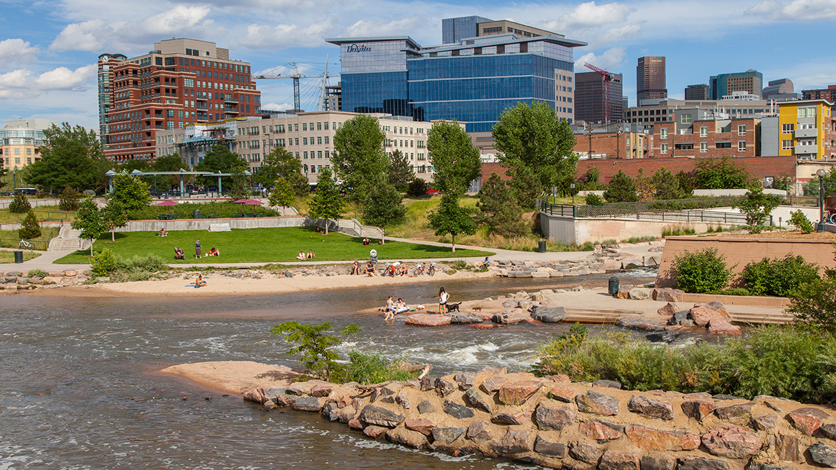
I had high hopes for Denver, knowing Colorado was full of nature and hikers. I had 12 hours there before my connecting flight and figured it would be a good opportunity to visit a city few have that I know. I had built it up to be some kind of strange capital of these nature lovers with quirky bars and stores and a bit of an adventurous spirit and an edginess.
I was only in the city itself for about 7 hours so obviously I can only speak for first impressions of LoDo, RiNo and along the river. The people were overwhelmingly friendly and welcoming. I had some really nice interactions with them, though any taste of what Denver is/was in downtown has been razed and replaced with big open streets with literal blocks between shops punctuated by the worrying intrigue that surrounds clearly troubled drug addicts. They were everywhere and that was the edginess of the city I found.
Confluence Park
The river, a couple of little parks and REI saved the day, people were hanging out, jogging and strolling. I went for a nice long walk down the river trails and watched the world go by. That was cool but I was very eager to move on. I suppose I should’ve ventured further afield and no doubt there is cool in Denver, somewhere, I just didn’t find it.
Pretty crazy but we appeared on a podcast today and we have two episodes with the wonderful Erin of HikingThru Podcast. It was a blast having the conversation and my first experience like that.
 Thousand Island Lake should’ve been number one all along. The pristine lake sits below Banner Peak and is dotted with dozens of small islands. We approached the lake at sunset and found the perfect spot on the lake’s edge.
 We set up tent quickly by the water just in time to see the last whisps of orange clouds fade and as Jen heated up the Punjabi Potatoes by the tent, it turned out I was really nervous and Jen not at all suspicious.
 I just about managed to get the box in my hand the right way round and I plopped my knee down into the wet ground and popped the question.